Records
The biggest earthquakes in U.S. history
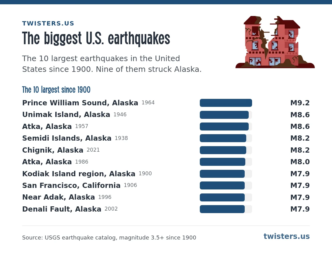
The 30 largest earthquakes in the United States and its territories since 1900, from the USGS catalog. Alaska dominates: it sits where the Pacific plate dives under North America, which produces the largest quakes on Earth.
Biggest outside Alaska
- 7.9 California: San Francisco, California, 1906
- 7.7 Hawaii: 17 km SSW of Leilani Estates, Hawaii, 1975
- 7.7 Puerto Rico: 45 km N of San Antonio, Puerto Rico, 1943
- 7.2 Montana: Hebgen Lake, Montana, 1959
- 7.1 Nevada: Fairview Peak, Nevada, 1954
- 7.0 Oregon: 136 km WSW of Brookings, Oregon, 1991
- 6.9 Idaho: Borah Peak, Idaho, 1983
- 6.8 Washington: Nisqually, Washington, 2001
- 6.6 Utah: Near Marysvale, Utah, 1901
- 6.5 Wyoming: 14 km N of Madison Junction, Wyoming, 1959
- 6.3 Texas: Valentine, Texas, 1931
- 6.2 Arizona: Near Flagstaff, Arizona, 1906
How big is big?
Each step up the magnitude scale releases about 32 times more energy. The 1964 Alaska earthquake, magnitude 9.2, released more energy than 5,000 of the 1994 Northridge quake in Los Angeles. It shook for about four and a half minutes and set off a tsunami that reached California.
East of the Rockies, big quakes are rare but travel far: the rock is older and colder, so shaking spreads over a much larger area. The 2011 magnitude 5.8 Virginia earthquake was felt from Georgia to Canada. The 1811 and 1812 New Madrid quakes in Missouri, probably around magnitude 7 or larger, came before modern instruments, so they are not in this table.
By state
Data: USGS earthquake catalog, magnitude 3.5 and up since 1900, built 2026-11-07. Quakes just offshore count for the nearest state.